Pipeline Survey
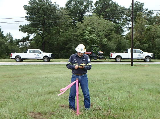
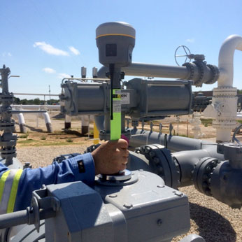
Stark offers both sub-meter and centimeter level accuracy depending on the client’s requirements. New construction, asset installations, ROW features, cut-outs / repairs and Above Ground Marker locations are just a few of the areas where our survey services can be utilized. The survey crew will confirm that the accuracy and data collection method meet the client’s requirements. The Survey Report will include all survey details including site description, survey method, equipment, data files (raw and processed), photos and maps. The goal is to ensure precise data collection and that the data is in a format can easily be viewed and imported into the clients GPS / GIS database.


Our Commitment
Stark has developed a turnkey solution to suit any ILI project. Our goal is to be a one call solution to our customers. Stark is dedicated to providing a safe, professional, and cost effective service. Our goal is to make our clients lives easier by handling all the support services needed to run an ILI tool.